Rutgers expert discusses winter storm in NJ

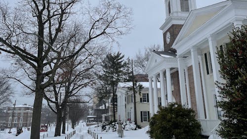
The winter storm that occurred from Sunday to yesterday was the largest in New Jersey since January 2016, said David Robinson, distinguished professor in the Department of Geography and New Jersey State climatologist.
The storm dropped more than 20 inches of snow in much of Northern and Central New Jersey within the first two days, according to NJ Advance Media. Some northern parts of the state received more than 30 inches, according to NorthJersey.com.
New Brunswick received approximately 18 inches of snow throughout the storm, which Robinson said is not that unusual for the city. On average, New Brunswick has one snowstorm every 2 to 3 years that drops 10 or more inches of snow, he said.
New Jersey remained under a state of emergency for the duration of the storm, with hundreds of school districts closing or switching to remote instruction for Monday and yesterday. In addition, New Jersey Transit suspended most of its services on Monday, hundreds of flights at area airports were canceled and many coronavirus disease (COVID-19) vaccination sites closed temporarily.
The Daily Targum previously reported a press conference held by Gov. Phil Murphy (D-N.J.) on Monday, where he discussed the severity of the storm and the efforts the state was making to ensure the safety of the public, including having approximately 3,900 pieces of equipment and numerous crews on the roads throughout New Jersey.
While this storm may have been the largest one since five years ago, Robinson said there were notable differences between the two.
“That storm deposited a foot of snow in every (New Jersey) county except Cape May, while the current storm only did so for central and northern counties,” he said. “Less snow fell from (approximately) the Interstate 195 corridor southward.”
Robinson said the winter storm originated from a coastal storm that arrived in California earlier last week, which traveled across the U.S. and strengthened once it went off the mid-Atlantic coast.
Last winter produced the least amount of snow in New Jersey since the start of state winter weather records in 1895, which he said makes last winter more unusual than this one so far.
“We average (approximately) 25 (inches) per year in Central (New Jersey), so this storm plus the modest one in mid-December quite possibly will still total less than the winter average,” Robinson said. “Of course, the winter is far from over.”


